




Technology
Spatial Intelligence
Why Spatial Intelligence Matters
Unified BEV View
A unified top-down view of the surrounding environment.
Occlusion & Unknowns
Explicit modeling of unseen space enables safer planning decisions.
360° Coverage
Full-circle sensing for real streets.
How Spatial Intelligence Works
Precise Obstacle Detection
Vehicles / Pedestrians / Cyclists
Real-time detection of surrounding dynamic obstacles, outputting position, speed, and motion trajectories.
OCC-Based Irregular Boundary Modeling
Fine-Grained Edge Reconstruction
Occupancy-based modeling of irregular object boundaries, including guardrails, road edges, and stacked items.
Traffic Signal Interpretation
Safe Intersection Navigation
Accurate recognition of traffic signal states and countdowns, supporting stop, go, and turning decisions.
Built for Messy Real-World Streets
Perception That Understands Free Space
Occlusion-Aware Free Space
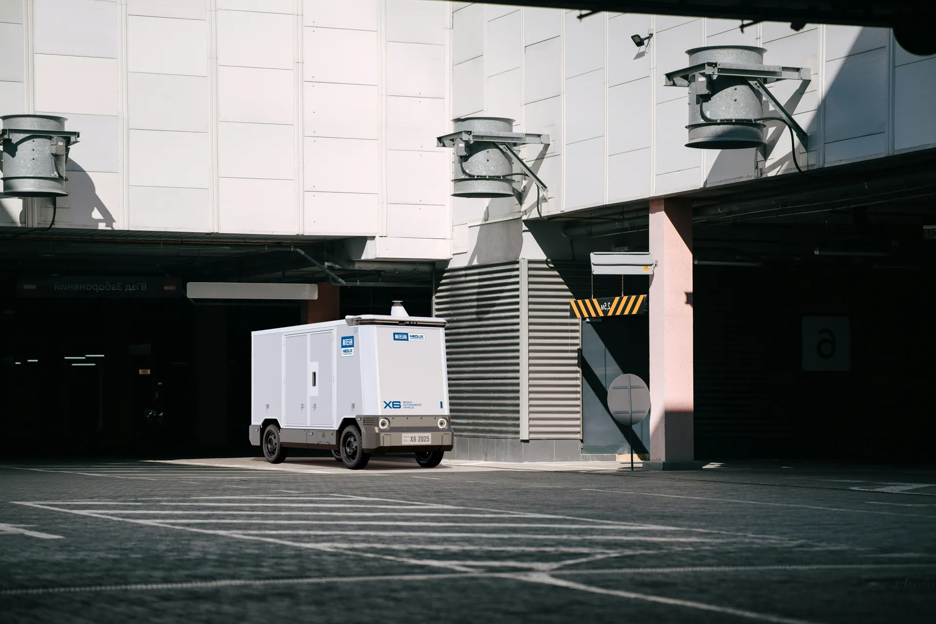
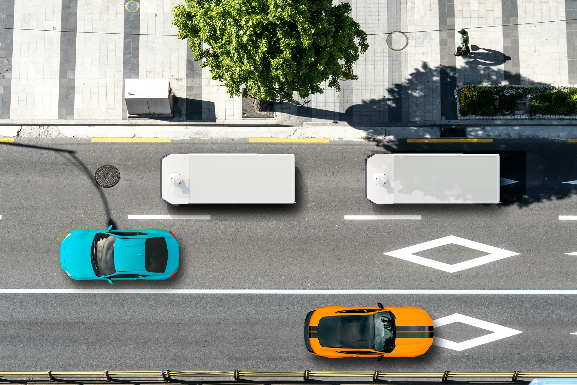
Models occluded areas as explicit “unknown” space, enabling safer planning around corners, parked vehicles, and blocked views.
Stable in Mixed Traffic
Reliable scene understanding around pedestrians, bikes, scooters, and cars—even in dense urban flow.

Confident in Tight Maneuvers
Better low-speed control for curbside stops, narrow lanes, and tight turns common in logistics routes.
Occlusion-Aware Free Space
Models occluded areas as explicit “unknown” space, enabling safer planning around corners, parked vehicles, and blocked views.
Stable in Mixed Traffic
Reliable scene understanding around pedestrians, bikes, scooters, and cars—even in dense urban flow.
Confident in Tight Maneuvers
Better low-speed control for curbside stops, narrow lanes, and tight turns common in logistics routes.
Proven in Occlusion, Narrow Streets, and Mixed Traffic.
Power Your Delivery Operations
Download detailed specs or talk to our team to find the right vehicle for your fleet.